Property Record
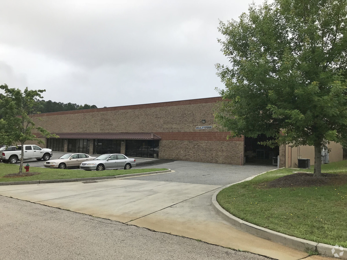
680 Enterprise Dr, Auburn, GA 30011


NEARBY LISTINGS FOR SALE OR LEASE
Property Detail
680 Enterprise Dr
Atlanta-Sandy Springs-Roswell, GA
University Parkway Center
XX041B-017
LOT 17 BLK A UNIVERSITY PARKWAY CENTER
Warehouse
Barrow
X
Georgia
13135C0079G
17
2024
1.30 AC
2024
S Barrow
180108
Atlanta
22,410 SF
DEMOGRAPHICS near 680 Enterprise Dr
1 Mile
3 Mile
5 Mile
2024 Total Population
1,112
17,659
60,373
2029 Population
1,276
19,668
67,565
Pop Growth 2024-2029
+ 14.75%
+ 11.38%
+ 11.91%
Average Age
37
36
36
2024 Total Households
389
5,686
19,106
HH Growth 2024-2029
+ 15.17%
+ 11.82%
+ 12.36%
Median Household Inc
$73,668
$81,914
$80,259
Avg Household Size
2.90
3.10
3.10
2024 Avg HH Vehicles
2.00
2.00
2.00
Median Home Value
$189,930
$247,886
$250,062
Median Year Built
1993
1999
2001
Nearby Places
- Restaurants
- Banks
- Shops
- Fitness
- Groceries
SALE & LEASE HISTORY
LISTING DATE
SALE/LEASE

Jul 09, 2020
For Lease
Nearby Properties
Address
Land Use
TOTAL SIZE
Lot Size
Zoning
Address
Land Use
TOTAL SIZE
Lot Size
Zoning
222,481 SF
23.20 AC
M-1
Address
Land Use
TOTAL SIZE
Lot Size
Zoning
10,128 SF
28.20 AC
R-3
Address
Land Use
TOTAL SIZE
Lot Size
Zoning
420,876 SF
26.80 AC
M-2
Address
Land Use
TOTAL SIZE
Lot Size
Zoning
305,327 SF
22.10 AC
M-2
Address
Land Use
TOTAL SIZE
Lot Size
Zoning
120,000 SF
142.70 AC
AG
Address
Land Use
TOTAL SIZE
Lot Size
Zoning
126,475 SF
34.89 AC
C1
Address
Land Use
TOTAL SIZE
Lot Size
Zoning
301,200 SF
39.20 AC
M-2
Address
Land Use
TOTAL SIZE
Lot Size
Zoning
231,285 SF
34.50 AC
M-2
Address
Land Use
TOTAL SIZE
Lot Size
Zoning
183,060 SF
17.90 AC
M-2
Address
Land Use
TOTAL SIZE
Lot Size
Zoning
167,580 SF
21.80 AC
M-2
Address
Land Use
TOTAL SIZE
Lot Size
Zoning
89,520 SF
14 AC
M-2
Address
Land Use
TOTAL SIZE
Lot Size
Zoning
137,200 SF
20 AC
M-2
Address
Land Use
TOTAL SIZE
Lot Size
Zoning
38,550 SF
3 AC
C-2
Address
Land Use
TOTAL SIZE
Lot Size
Zoning
84,363 SF
20.80 AC
C-2
Address
Land Use
TOTAL SIZE
Lot Size
Zoning
69,285 SF
53.10 AC
M-2
Address
Land Use
TOTAL SIZE
Lot Size
Zoning
64,800 SF
47.30 AC
M-1
Address
Land Use
TOTAL SIZE
Lot Size
Zoning
23,546 SF
24.55 AC
RA200
Address
Land Use
TOTAL SIZE
Lot Size
Zoning
20,660 SF
10.94 AC
RA200
Address
Land Use
TOTAL SIZE
Lot Size
Zoning
65,500 SF
10.50 AC
DOWNTOWN O
Address
Land Use
TOTAL SIZE
Lot Size
Zoning
71,300 SF
13.80 AC
M-2
Address
Land Use
TOTAL SIZE
Lot Size
Zoning
14,300 SF
5.80 AC
M-1
Address
Land Use
TOTAL SIZE
Lot Size
Zoning
15,808 SF
16.43 AC
RA200
Address
Land Use
TOTAL SIZE
Lot Size
Zoning
24,400 SF
20 AC
M-2
Address
Land Use
TOTAL SIZE
Lot Size
Zoning
2,455 SF
14.70 AC
RM8
Address
Land Use
TOTAL SIZE
Lot Size
Zoning
49,527 SF
19.20 AC
M-2
Address
Land Use
TOTAL SIZE
Lot Size
Zoning
6,000 SF
25.40 AC
M-2
Address
Land Use
TOTAL SIZE
Lot Size
Zoning
51,896 SF
6.20 AC
M-1
Address
Land Use
TOTAL SIZE
Lot Size
Zoning
12,742 SF
8.80 AC
M-1
Address
Land Use
TOTAL SIZE
Lot Size
Zoning
36,450 SF
7.80 AC
M-2
Address
Land Use
TOTAL SIZE
Lot Size
Zoning
3,960 SF
5 AC
M-2
The World's #1 Commercial Real Estate Marketplace
Connect with us
© 2025 CoStar Group
The information above has been obtained from sources believed reliable. While we do not doubt its accuracy we have not verified it and make no guarantee, warranty or representation about it. It is your responsibility to independently confirm its accuracy and completeness. Any projections, opinions, assumptions, or estimates used are for example only and do not represent the current or future performance of the property. The value of this transaction to you depends on tax and other factors which should be evaluated by your tax, financial, and legal advisors. You and your advisors should conduct a careful, independent investigation of the property to determine to your satisfaction the suitability of the property for your needs.